Menthosa Peak – Expedition Blog 5
The alarm goes off at 6 am. After the exhausting day yesterday, we slept quite well. But as we have only two more good weather days left, before a new system will bring snowfall and high winds, we have to get going. The plan is to land near Friendship peak, a nearby 5000 m peak, set camp at the summit ridge and climb up the next morning. We want to get used to staying longer at this high altitude, before starting an attempt on our main goal, Menthosa Peak, where we’ll have to camp at almost 6000 m.
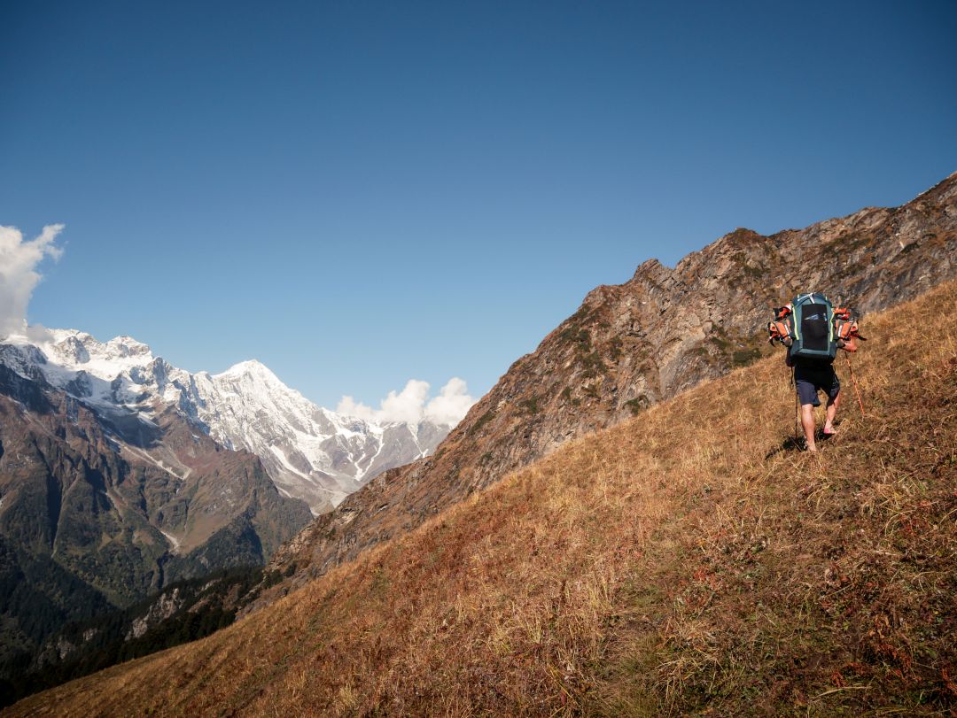
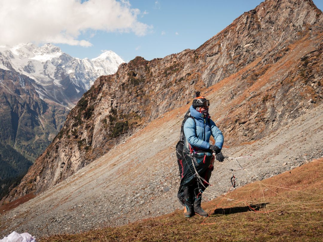
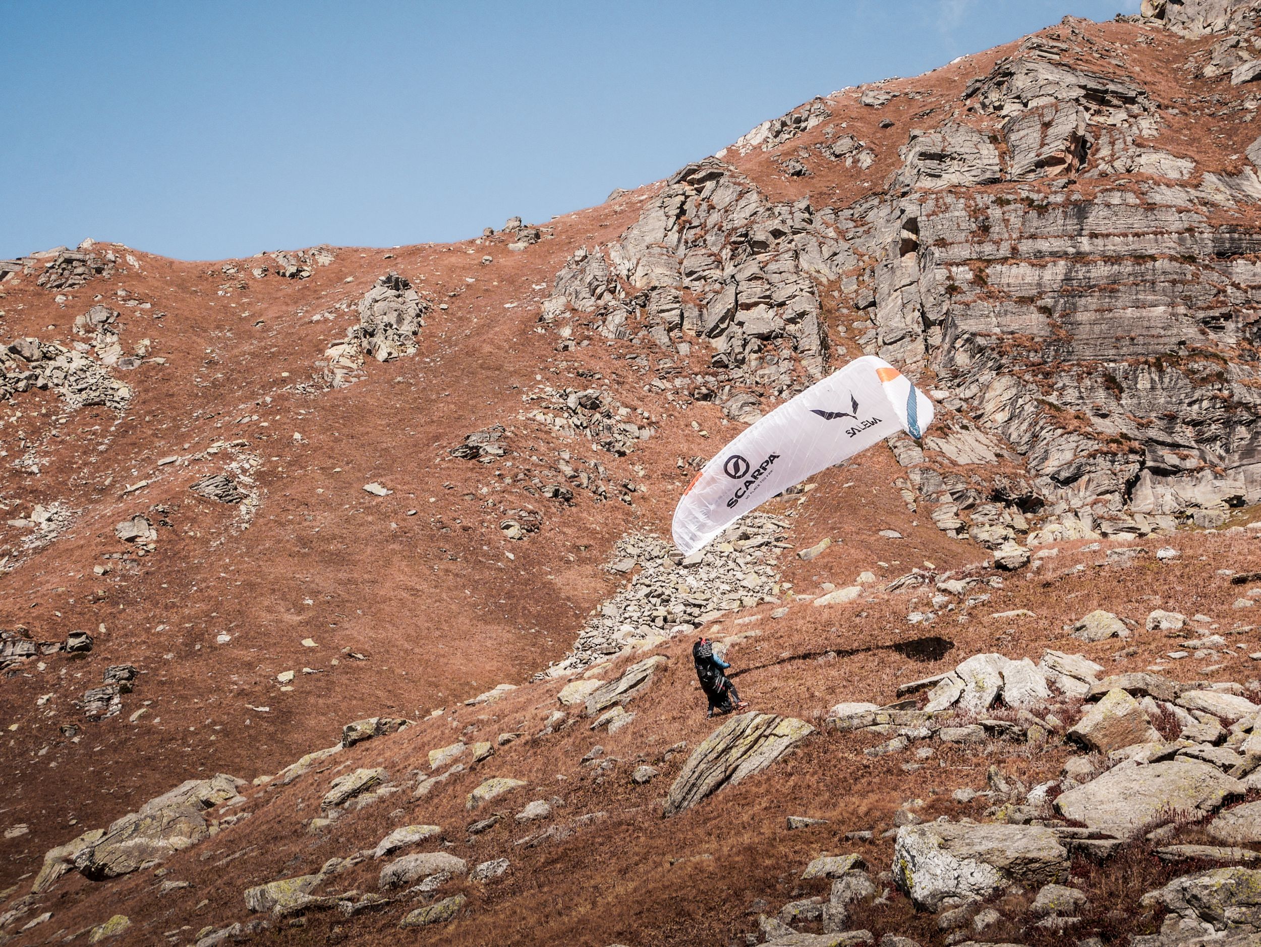
As we hike to our take off the first clouds start forming above Friendship peak. If the cloud base stays this high, we´ll have no problems top landing like planned. Quite happy we continue to the takeoff. The conditions are still weak at our altitude, so we unpack our gear and lay in the sun waiting for the thermal breeze to start. As we see the first big vultures thermaling in front of us we also notice the cloud base, that has come down quite a bit. We take off and can get to cloud base in no time but the view to Friendship peak doesn’t look very promising … our planned landing is already in the clouds. Thermals are strong so we get there very fast. As we approach our mountain Markus decides to land, just a few 100 m below the ridge. I am not really confident with the landing and decide to check out the area from the air a bit more. I soar up into the clouds and catch a quick view of the ridge, but it’s too cloudy to land there. As I descent again I take a closer look at the way from Markus landing to the summit.
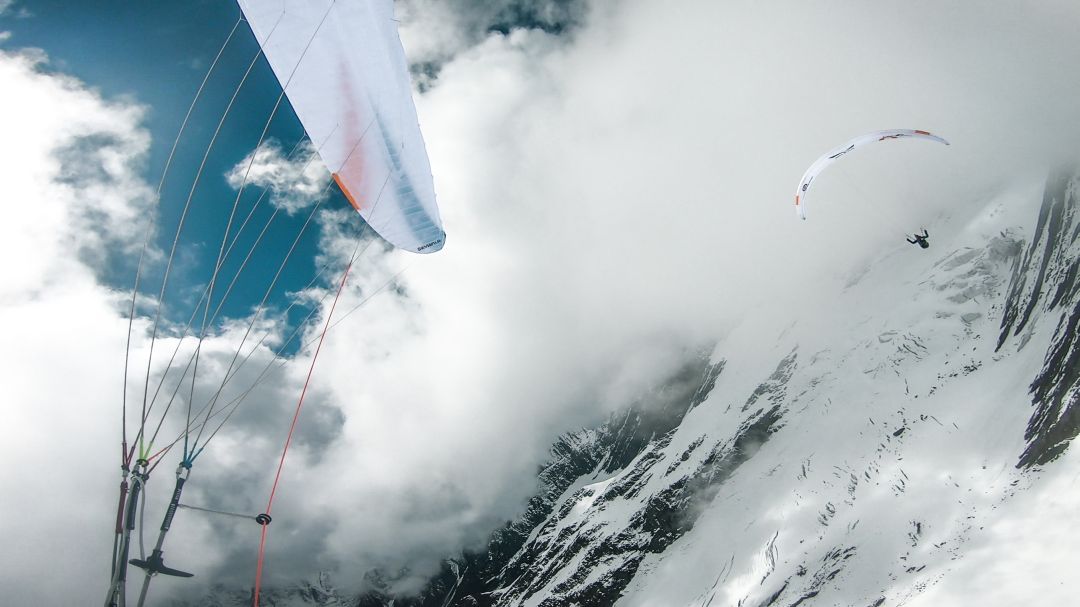
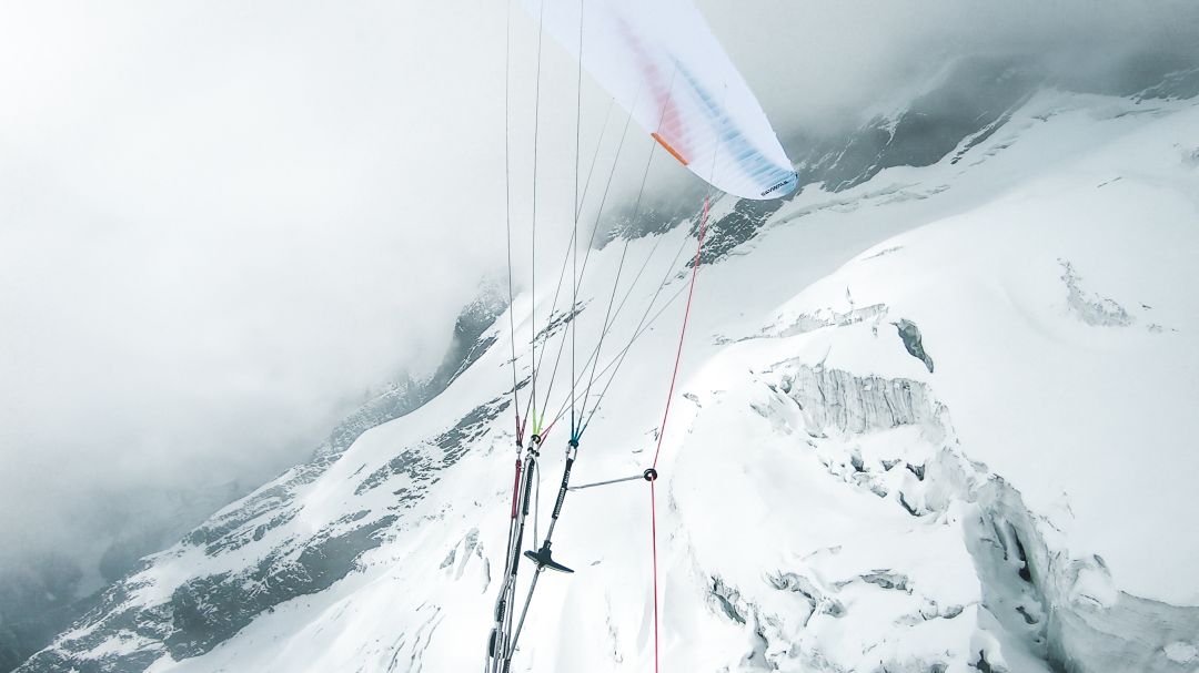
I don’t like what I see. We would have to cross a big glacier field with some sketchy crevasses and the nice bergschrund just to get to a steep wall that leads us to the summit ridge. We would have to cross this area twice to get to the summit and back to our camp. We also have to fly back to the valley the next day as we have no food left. I decide to not land.
As I fly by Markus I scream at him: “Take off !!“ and disappear back into the cloud. I don’t want to lose too much height. In case Markus cannot take off again I will have to land near him, as we can only leave this area by foot, in a team. Luckily the next time I see Markus he’s back in the air and we both fly back in the direction of the first take off.

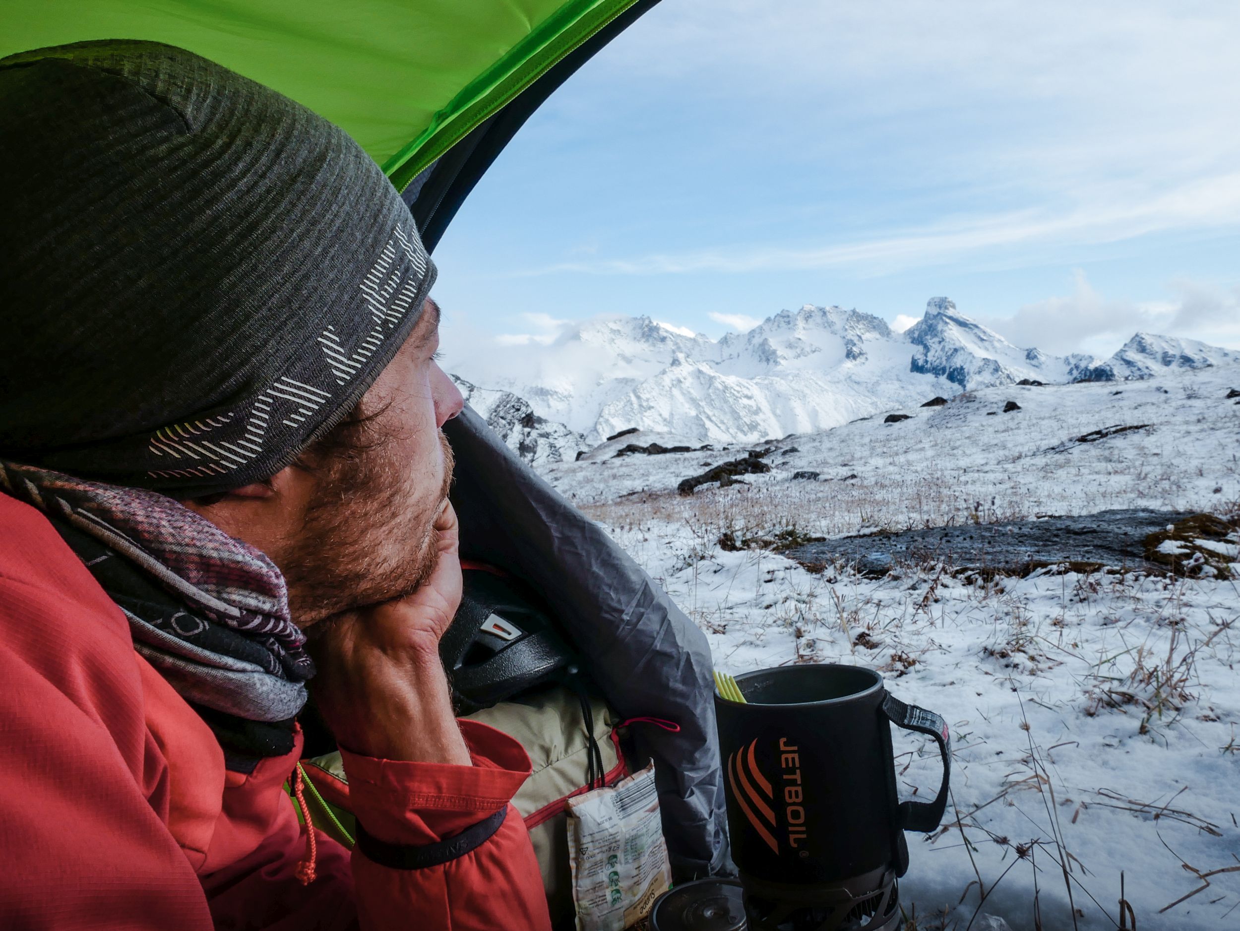
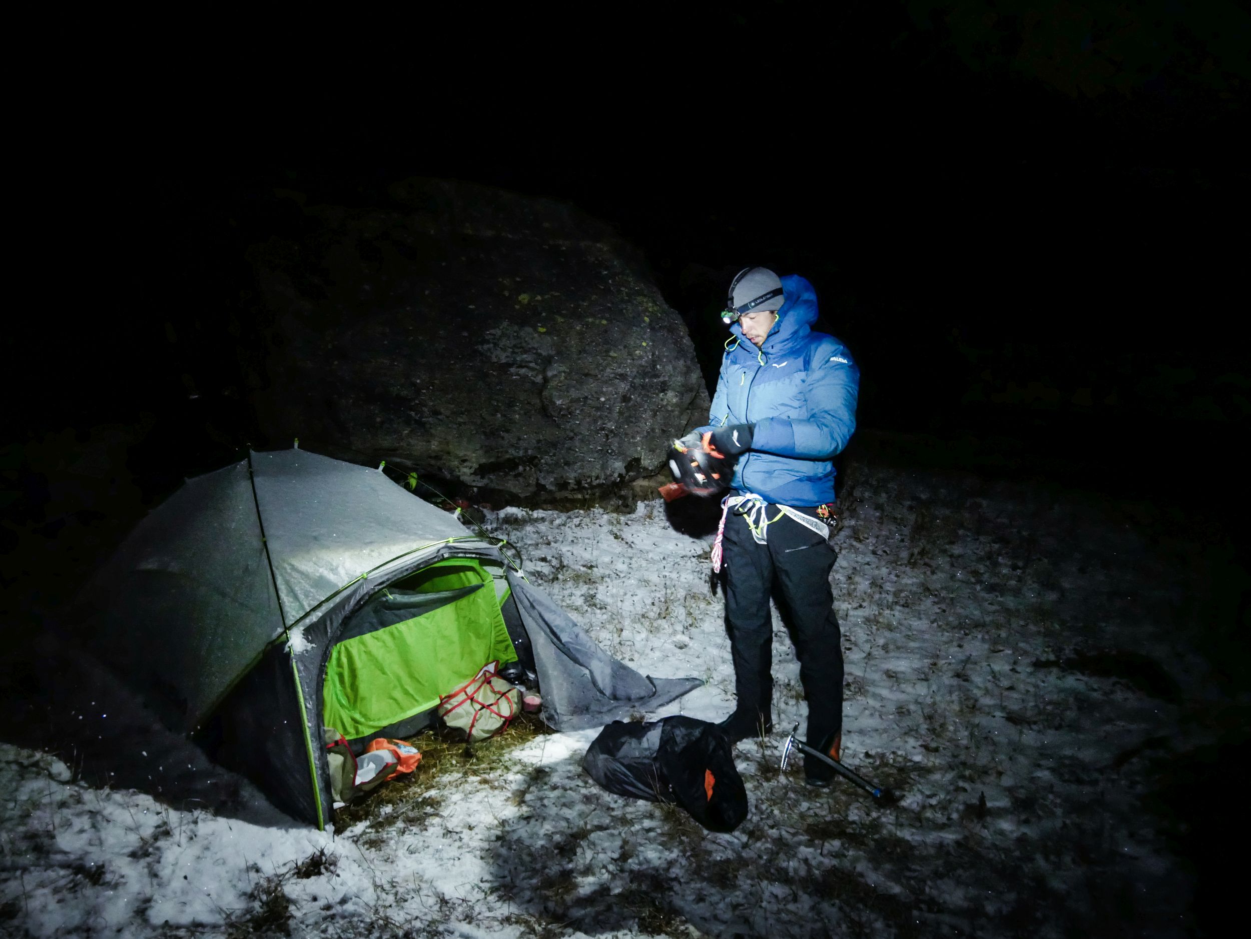
On our way we make a quick decision to try to get to another mountain more to the east, where the air seems a bit dryer and the cloud base higher. We cross by the Rothang Pass and fly in the direction of Deo Tibba. As we get closer the conditions there get worse. In the end we scrub at 4500 m at the south wall of Deo Tibba trying to somehow get back out of this valley. The clouds are getting darker and we land at the only nice looking patch of grass just minutes before it starts hailing, then snowing. In a hurry we set up our tent and throw the gliders underneath one of the huge boulders that cover our landing. We sit in our tent and eat our last soup for almost 2 hours.
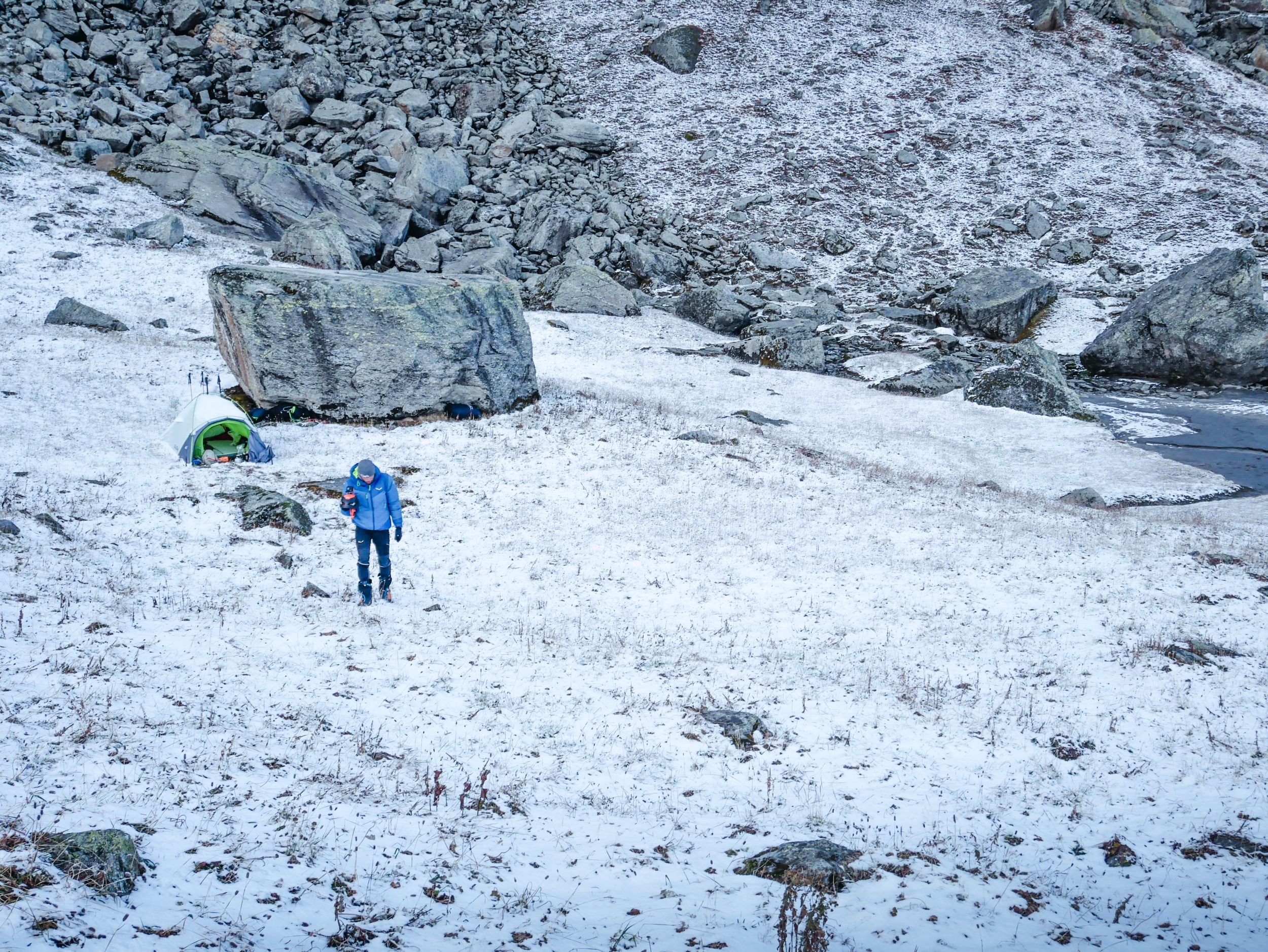
As the snow stops and the clouds slowly disappear, we get a first sight on the peak we landed at. It´s beautiful and doesn’t look too difficult. Seems like we found our mountain to climb tomorrow. We pack our gear and get back into the sleeping bags.
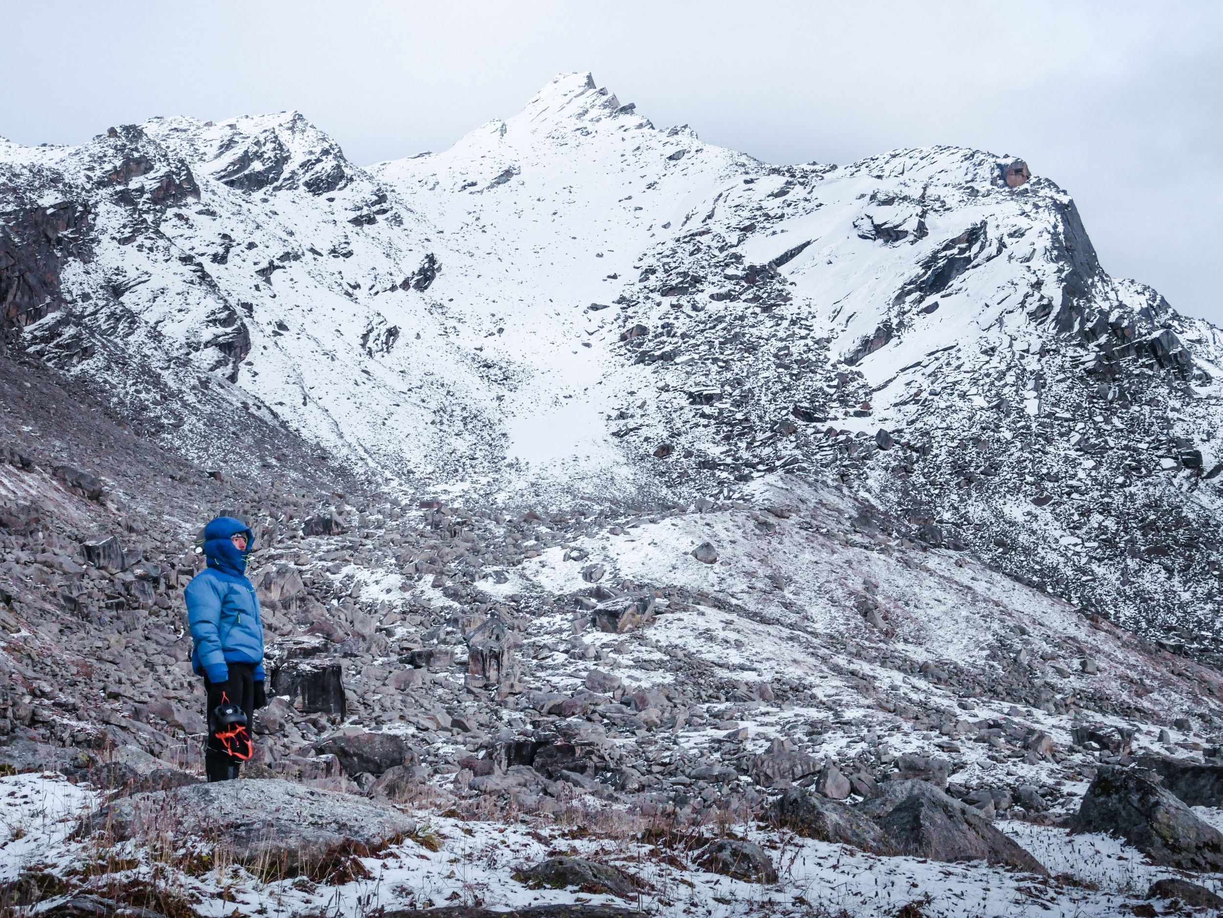
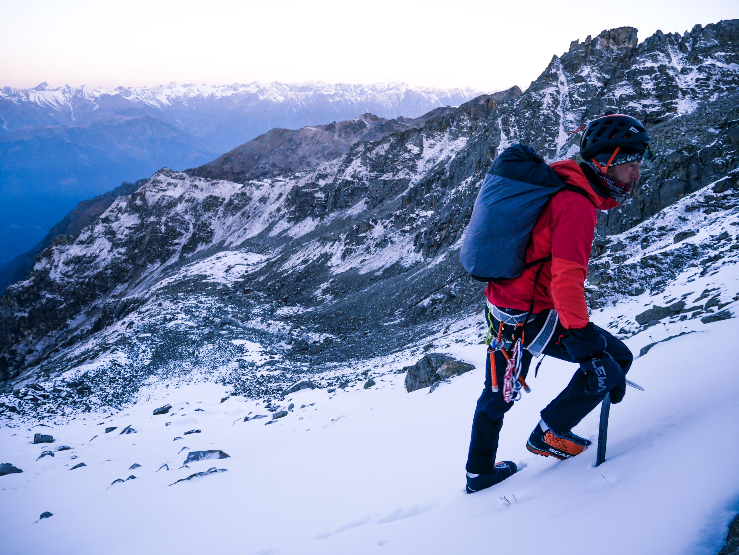
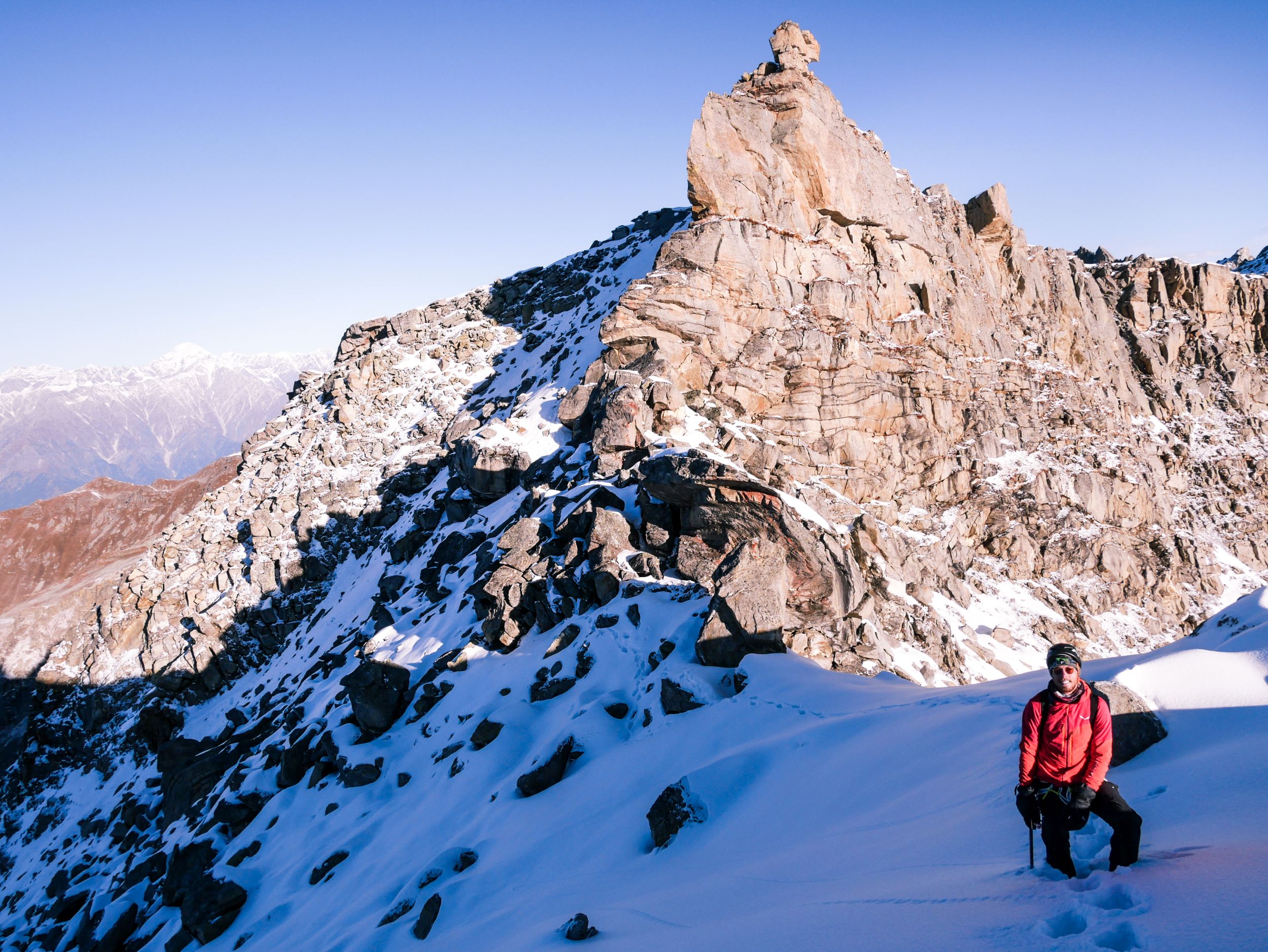
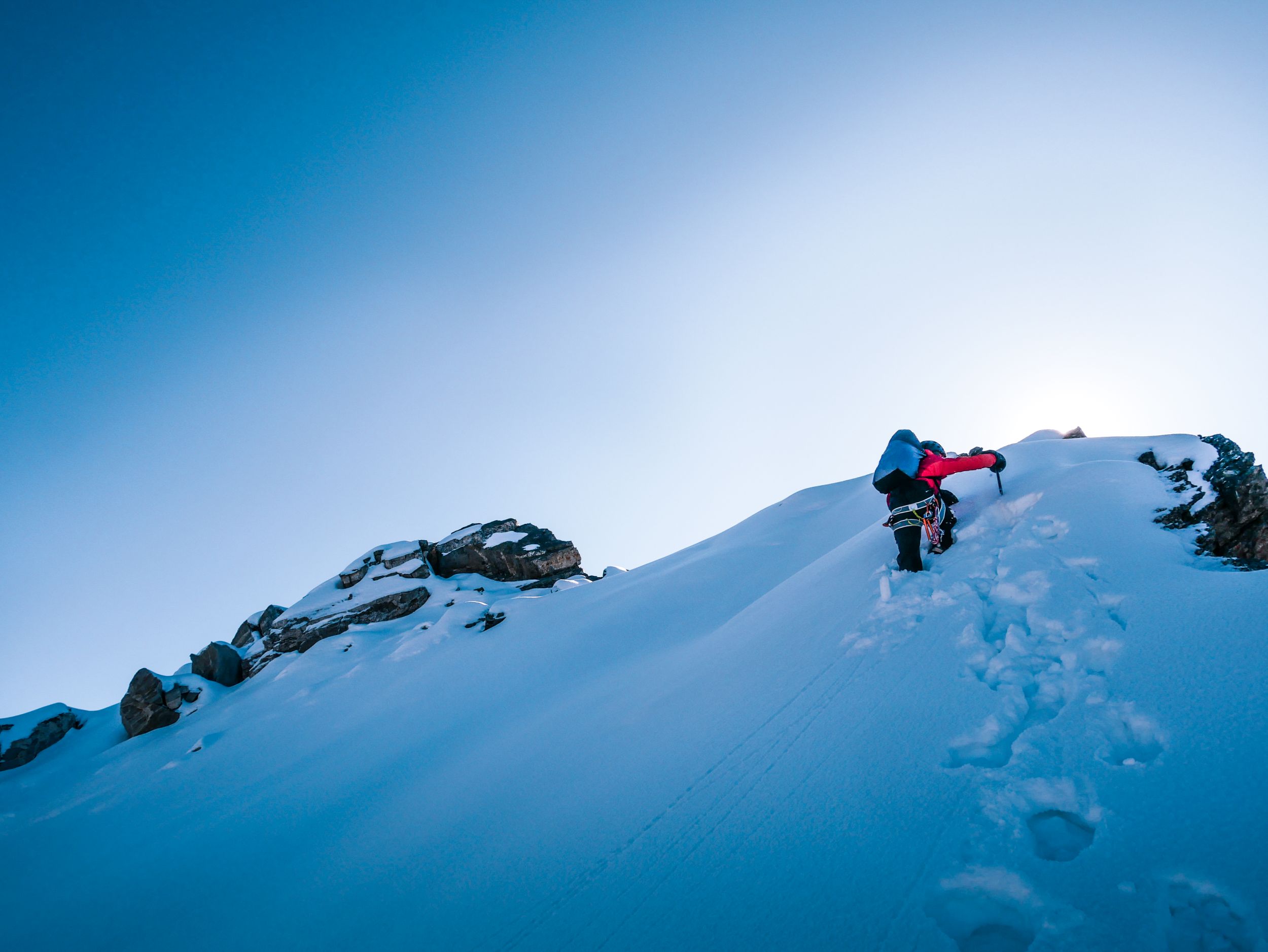
We wake up at 4 am. It´s freezing cold so we try to get moving fast. First we have to cross a big boulder field, which leads us to the west side of the mountain. We climb about 500 hm to the north ridge where we encounter some deep snow. The remaining 200 hm up to the summit we have to dig ourselves trough hip deep snow but the view from the top is worth all the effort. Our GPS shows us 4906m. We take a short break in the first sunrays before starting the descent. As we reach the camp the sun has also arrived there, we start drying our gear and take a short nap on top of our boulder.


Now it´s time to head back to the civilization to fill up our food supplies and wait for the next weather window. We find a takeoff just 50m below our camp. The flight back to the city Manali is super easy and we´re both ready for a really big dinner.